Friday, 5 February 2016

Boys Don't Cry: it makes their eyeliner run

My ride today took me in a northerly direction to Burwash and Stonegate.  The day was overcast  and their was a small amount of drizzle as my ride.  I rode out through Netherfield and down into Doctor's Hole (no sniggering at the back!), turned right and climbed up through the hamlets of Cackle Street and Twelves Oaks to Brightling.  From Brightling there was a long descent towards Burwash.

Burwash Needle is an obelisk built by Mad Jack Fuller. It is at one of the highest points in Sussex at 197 metres and stands at 20 metres.

As I crossed the River Dudwell my chain came off.  I soon put it back but managed to get oil all over my jersey hmmm!
Oil on jersey.  Any ideas on how to remove it?
The road took me past Bateman's, the former home of Rudyard Kipling, author of Jungle Book and the crappy poem 'If'.Batemans is an early 17th Century Manor House.
Bateman's is now owned by the awful National Trust who have turned it into a theme park for retired middle class people who are charged an extortionate £11 to walk round and gawp.  Today, they were having the chimneys swept and the chimney sweep had left the gate open so I was able to take a nice photo.
The climb from Bateman's to Burwash is quite steep.

Just outside Burwash were some early crocuses.
Burwash is a small village with a population of 2,713.
16th Century houses near the church of St Bartholomew in Burwash.

The church dates from 1090, although most of it is 12th Century.


From Burwash the road dropped and then climbed back up to Stonegate, where it started to rain. From Stonegate, I rode through Witherden Hill where when I was a teenager there was a pub called The Kicking Donkey - its now a house, although the hop garden opposite is still there.
Just past Witherden Hill lives Roger Daltrey (out of The Who) and just around the corner from him lives Goth-god, teen angst-merchant and leading Widow Twankey impersonator, Robert Smith (out of The Cure).
Robert Smith (out of The Cure)
Widow Twankey


Robert Smith's house is ENORMOUS.  It looks a bit like the White House and is a very grand stately home.  I knew it was his house because when I looked through the bins there were a lot of discarded lipsticks, pie wrappers and a powder compact.  Thinking of Robert Smith (out of The Cure) made me remember this link to a little known duet recorded with Bryan Ferry (out of Roxy Music and also Sussex resident) recording of Joe Dolce's classic Shaddup you face.


From Gloomy Towers, the home of Robert Smith (out of The Cure) I rode back to Burwash and retraced my tyre tracks home.


Wednesday, 3 February 2016

A pocketful of Rye

Today's ride saw me heading in an easterly direction from Battle.  I don't often go east as the prevailing wind here comes from the west and so I prefer to head out west into a head wind and then when I'm getting tired have a tailwind home.  Today I headed out through Whatlington to the village of Sedlescombe where I came across a flock of geese.  I saw the same geese last time I rode through the village before Christmas and had assumed that they were going to the table.
From Sedlescombe, I went through Westfield, Three Oaks to Guestling.  The church at Guestling is tucked away down a narrow road that I've not been down before.

The Church at Guestling, St Laurence - patron saint of cooks, chefs and comedians, on account of allegedly calling out 'turn me over I'm done' as he was martyred over a fire of coals - is the resting place of Olive Brockwell.  Who she?  Well, she was Christopher Milne's nanny and found fame under the nom de plume of Alice, as in 'the changing guards at Buckingham Palace, Christopher Robin went down with Alice'.  I suppose Olive didn't quite work, rhyme-wise.

The church itself dates back to Saxon times although the tower is Norman 11th or 12th century.

The daffodils are out early this year, this host was in the graveyard at Guestling Church.  
An unusual inscription to Anchitel Ashburnham.
I made my way from Guestling with a slight tailwind through Pett and down Chick Hill.
Chick Hill is probably the steepest climb in Sussex, fortunately it is quite short and, for today at least, I was going down!  At the bottom of Chick Hill I turned left across Pett Level to Winchelsea Beach.
The road across Pett Level, is flat and exposed, on the other side of the dyke on the right hand side is the beach.  Pett Level is reclaimed land and in the Middle Ages would have been underwater for some of the time.  On the left is marsh and grazing for sheep.


The view inland from the Pett Level road shows a ridge which would have originally have been cliffs going down to the sea. 
From Winchelsea Beach my route took me towards the Rye Harbour Nature Reserve.  
In the 1920's and 30's, people moved out from London and urban centres and made beach shacks from old train carriages along parts of the South coast.  More recently, the plots have been transformed as architects and developers have built design-led beach houses.  In the photo above, an original extended train carriage sits alongside a modern beach house over-looking the Nature Reserve.
The Nature Reserve is designated as a Site of Special Scientific Interest (SSSI) because of the many unusual plants and animals that live here as well as the way the land has been built up by the sea over the last 500 years. Shingle wildlife is specialised because of the harsh conditions that prevail, so there are many rare and endangered plants and animals to be found here. Large gravel pits were created by shingle extraction and these have become a valuable habitat for wetland wildlife.
The Mary Stanford Lifeboat House on the Nature Reserve stands in a remote and exposed part of the Reserve.  
The remoteness and bleakness of its location only adds poignancy to the Mary Stanford Lifeboat tragedy.  On 15 November 1928 the lifeboat was launched in a strong gale and under heavy seas to rescue an ailing vessel, Alice of Riga.  News was received that the crew of the Alice had been rescued by another vessel and the recall signal was fired three times. Apparently the crew of the Lifeboat had not seen it. As the Lifeboat was coming into harbour she was seen to capsize and all 17 lifeboat men were drowned.  At that time it was reckoned that it was virtually all of the active fishermen of Rye Harbour.

The Reserve is bounded by the River Brede and the road through turns inland at the mouth of the river.  
A World War II blockhouse defended the river mouth from a potential invasion that never came.  
Big skies and an an old fisherman's cottage made from painted corrugated tin.
Once out of the Reserve, the road continues inland towards Rye.
The view towards Rye from the Harbour road.
 Old Hastings trawler in dry dock in Rye.
Gibbet Mill, Rye.  A windmill has stood on the site since 1596.  Milling continued until 1912 when it became a bakery.  It burnt down in 1930 as the bakery ovens overheated, destroying the wooden structure of the mill.  It was rebuilt and continued as a bakery until 1976, when it became a pottery. It has been a bed and breakfast since 1984.
True to form as I headed back to Battle it was into a headwind.  
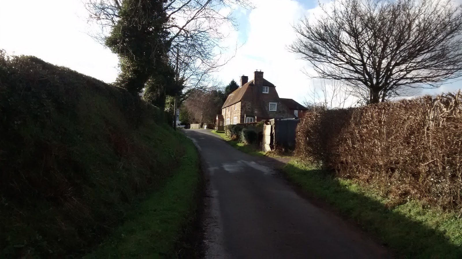
 The sun was low and visibility was quite poor so I took the main road back to Battle, stopping only briefly to take a final photo of Dumb Woman's Lane, the former home of Comedian Spike Milligan.
Now the stats


Tuesday, 2 February 2016

A short ride around the High Weald and Low Levels

My route took me down Eatenden Lane from where I took this view of some alpacas.


Eatenden Lane in the weak winter sunshine.
Eatenden Lane goes through Mountfield, where there is a duck pond.  Mountfield is a small village mentioned in the Doomesday Book.

  All Saints Church Mountfield is a quintessential example of a 12th Century English church.

19th Century gravestone in Mountfield churchyard showing detail of basket with fruit and wheat. The lane from Mountfield skirts the Darwell Reservoir.  Its very narrow, climbs about 120 metres and is always very quiet.
At the end of of lane is the hamlet of Hollingrove.  18th Century ragstone cottage in Hollingrove at the top of a steep hill. Hollingrove only has a handful of houses, many of which are listed and date from the 18th or 19th century.
From Hollingrove the road climbs to Brightling.  Brightling is famous for 'Mad' Jack Fuller, an eighteenth century Member of Parliament.  He is buried in the pyramid on the righthand side of the picture above in the churchyard.  Reputedly he is interred in the pyramid sitting in his favourite armchair with a bottle of port and a glass on the table next to him.  Fuller is well-known as an English eccentric, having built a number of follies in the area, one a replica of a Greek temple; another in the shape of a sugar loaf.  The wall in the front of the photo was also built for Mad Jack and runs a few miles around his estate.  Legend has it that the wall was built as a job creation exercise to put unemployed labourers to work.  One thing that people tend to overlook is that much of Fuller's fortune was amassed by owning sugar plantations which would undoubtedly have used slaves.
The road from Brightling heads across a ridge which offers great views across the High Weald.  The wall on the left is that built by Fuller.
The view looking north across the High Weald landscape from Brightling ridge.  Brightling ridge was the high point of my ride at 154 metres.
 The Swan pub at Woods Corner: a short descent from Brightling.
From Woods Corner and down through Dallington.  Dallington is another hamlet with some lovely houses including this excellent example of a Sussex wealden hall house dating from 15th or 16th Century.

The road from Dallington is very rough with lots of potholes.  At Padgham you find a sign warning you to beware of ducks.  Down through Bodle Street Green and Hurstmonceux and was onto Pevensey Levels.
Pevensey levels are below sea-level.  They are saltmarshes and reedy meadows.  There are very few houses .  It is virtually flat but is nearly always very windy.  The drainage ditches run along the side of the lane and it can be quite hard to avoid being blown into them when its windy (like today). Its a protected area as it is a fragile landscape and home to rare bird and insect life.
The drainage ditches are quite full of water at the moment, as they are most winters.  From Pevensey Levels, my route followed the coast to Cooden.
Not many on the beach at Cooden.  Looking towards Beachy Head a well-known cliff where people go to commit suicide.
Large sand - the view towards Cooden and Bexhill.
From Cooden Beach I turned inland back towards home, via Peartree Lane to Lunsford Cross and Ninfield.
Almost home - the road (or is it a river?) known as Freckley Hollow.  It is a traditional sunken lane dating back centuries and made by erosion from when pigs were driven through the woods. Apparently a few years ago, someone claims to have seen a squadron of UFOs in Freckley Hollow.  I would suggest that they take more water with it in future.
From Freckley Hollow it was an easy ride back to Battle.  Now the Stats