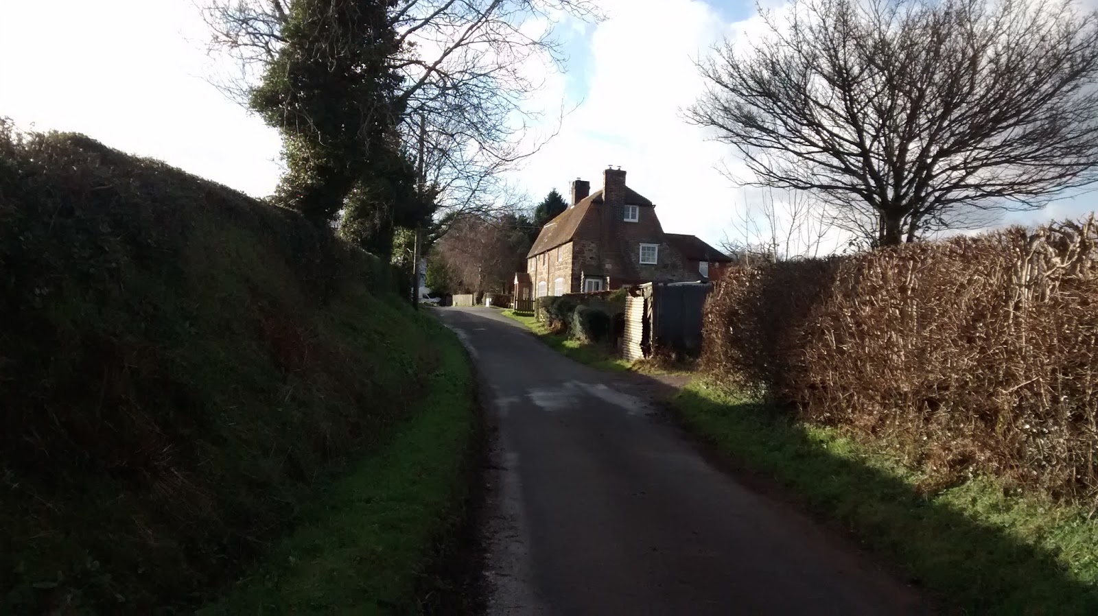
My route took me down Eatenden Lane from where I took this view of some alpacas.
Eatenden Lane in the weak winter sunshine.
Eatenden Lane goes through Mountfield, where there is a duck pond. Mountfield is a small village mentioned in the Doomesday Book.
All Saints Church Mountfield is a quintessential example of a 12th Century English church.
19th Century gravestone in Mountfield churchyard showing detail of basket with fruit and wheat. The lane from Mountfield skirts the Darwell Reservoir. Its very narrow, climbs about 120 metres and is always very quiet.
At the end of of lane is the hamlet of Hollingrove. 18th Century ragstone cottage in Hollingrove at the top of a steep hill. Hollingrove only has a handful of houses, many of which are listed and date from the 18th or 19th century.

From Hollingrove the road climbs to Brightling. Brightling is famous for 'Mad' Jack Fuller, an eighteenth century Member of Parliament. He is buried in the pyramid on the righthand side of the picture above in the churchyard. Reputedly he is interred in the pyramid sitting in his favourite armchair with a bottle of port and a glass on the table next to him. Fuller is well-known as an English eccentric, having built a number of follies in the area, one a replica of a Greek temple; another in the shape of a sugar loaf. The wall in the front of the photo was also built for Mad Jack and runs a few miles around his estate. Legend has it that the wall was built as a job creation exercise to put unemployed labourers to work. One thing that people tend to overlook is that much of Fuller's fortune was amassed by owning sugar plantations which would undoubtedly have used slaves.

The road from Brightling heads across a ridge which offers great views across the High Weald. The wall on the left is that built by Fuller.
The view looking north across the High Weald landscape from Brightling ridge. Brightling ridge was the high point of my ride at 154 metres.
The Swan pub at Woods Corner: a short descent from Brightling.
From Woods Corner and down through Dallington. Dallington is another hamlet with some lovely houses including this excellent example of a Sussex wealden hall house dating from 15th or 16th Century.
The road from Dallington is very rough with lots of potholes. At Padgham you find a sign warning you to beware of ducks. Down through Bodle Street Green and Hurstmonceux and was onto Pevensey Levels.
Pevensey levels are below sea-level. They are saltmarshes and reedy meadows. There are very few houses . It is virtually flat but is nearly always very windy. The drainage ditches run along the side of the lane and it can be quite hard to avoid being blown into them when its windy (like today). Its a protected area as it is a fragile landscape and home to rare bird and insect life.
The drainage ditches are quite full of water at the moment, as they are most winters. From Pevensey Levels, my route followed the coast to Cooden.
Not many on the beach at Cooden. Looking towards Beachy Head a well-known cliff where people go to commit suicide.
Large sand - the view towards Cooden and Bexhill.
From Cooden Beach I turned inland back towards home, via Peartree Lane to Lunsford Cross and Ninfield.
Almost home - the road (or is it a river?) known as Freckley Hollow. It is a traditional sunken lane dating back centuries and made by erosion from when pigs were driven through the woods. Apparently a few years ago, someone claims to have seen a squadron of UFOs in Freckley Hollow. I would suggest that they take more water with it in future.
From Freckley Hollow it was an easy ride back to Battle. Now the Stats